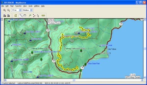
This hike was on the segment of the Tahoe Rim Trail (TRT) between Watson Lake and Tahoe City. Because it was a group hike, we first dropped off one car at the Tahoe City trail head and then drove to the start of the hike along the Fibreboard Freeway near Watson Lake. At the end of the hike we drove back to Watson Lake to retrieve the other car and then returned home. The car shuttle enabled us to cover 13 miles of the TRT on a beautiful day.
This trail segment is within the Tahoe National Forest. The trail proceeds south and west around Mount Watson before curving north and away from Lake Tahoe briefly. After that the trail heads generally south for about 5 miles before curving east, generally parallel to CA-89 and the Truckee River, to the Tahoe City trail head.
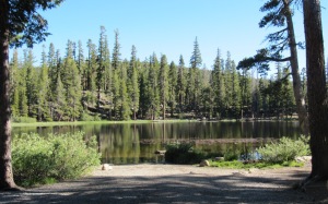
Watson Lake is a peaceful, nearly round, lake at about 7800 feet elevation. There is a network of informal trails around the lake, so if your hike starts at the lake it can be tricky to find the TRT. Perhaps the easiest way is to find the road, I think 16N50, which goes to the lake from the Fibreboard Freeway. Park at the junction and walk about 0.75 mile down the road. The TRT crossing of this road (with a jog of 0.1 mile or so) is well-signed.
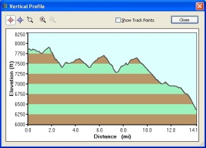
As the elevation profile shows, for the first 9 miles the trail has a gradual descent punctuated by three climbs that add up to about 1000 feet, before a steady descent to Tahoe City.
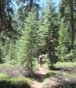
The trail proceeds mostly through open forest and is really a pleasant hike, especially on a nice, typical Tahoe Area summer day.
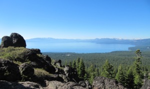
A highlight of most segments of the TRT is views of Lake Tahoe. Not long after cresting the highest elevation of the hike was the first view of the lake about 1600 feet below. The snow-capped peaks at the right are in the Desolation Wilderness.
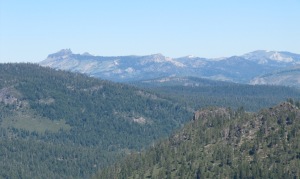
After the trail curves around Mount Watson there are views to the northwest. If I remember the discussion correctly, the ridge in the left background is Carpenter Ridge.
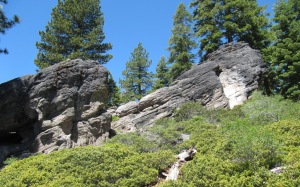
The TRT goes around Painted Rock, though in several hikes of this segment I’ve never managed to locate this landmark. However, about a mile later (and about 0.5 mile after crossing 16N53) there are other interesting-looking rocks to explore.
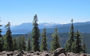
At the top of the last crest (see elevation profile at mile 9) Lake Tahoe comes into view once again, with snow-capped mountains to the west in the Desolation Wilderness.
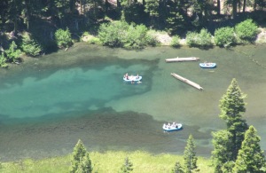
From here the trail descends fairly steadily to the Tahoe City trail head. About 2 miles into the descent the trail goes near the edge of Thunder Cliff, which has a steep drop-off to the Truckee River. It was pretty amazing to be looking almost straight down at the river.
If you look closely you can see a couple of rafts in the river. The view from a slightly different perspective shows rafters enjoying their trip from Tahoe City to the end of Alpine Meadows Road.
After these spectacular views of the Truckee River we had another 700 feet – and 3 miles – of descent, punctuated by repeated views of Lake Tahoe, before reaching the trail head on Fairway Drive in Tahoe City.


